Today is a good day.
Not just because today marks the beginning of summer or winter depending on your location on this planet, but also because we are releasing another beta of Pano2VR 5.2.
Levels, levels, levels
Google updated their Google Street View API to allow for levels (a way to connect panoramas from a multi-story building).
Therefore, we’ve added this feature to the Google Street View panel.
Here is a quick video that explains the process:
To add levels:
-
Add Tags to the nodes in User Data.
Or, alternatively, organize the images in folders per level and Pano2VR will auto tag the images.
-
In the Google Street View Panel, double-click in the table to add an entry. Choose the correct tag and enter an appropriate title that is max 3 characters long.
-
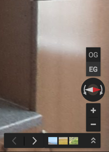
Upload the project to Google Street View and your Levels will appear in the corner like so:
Quick open Target Viewing Parameters
We’ve made it easier to quickly edit the next node’s opening target view. Just Command-click or Control-click the hotspot in the Viewer to open the connected node’s Target Viewing Parameters.
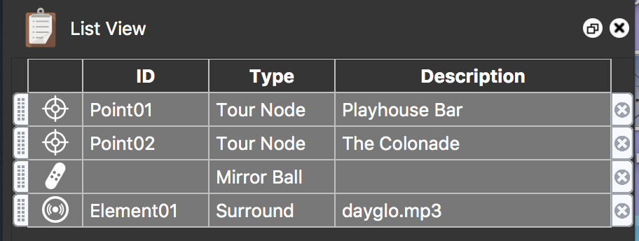
Easier viewing of Viewer element types
The List View panel has been changed to include a column for showing the added element’s type. So, now you can see if the patch is blur patch or an image patch. Or if the hotspot links to a tour node or an image.
Download
Download the update here. Or if you’re already using the beta, and have turned on Include beta versions in Pano2VR’s settings, the update will appear automatically.